 YALA
YALA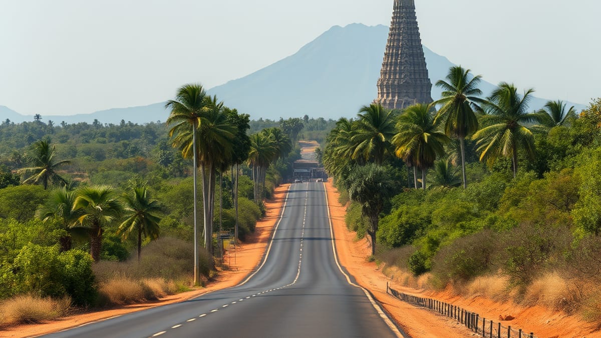
How to Get to Yala National Park: Every Route Compared
Ask three different tour operators how to get to Yala and you'll get three different answers, all delivered with total confidence. That's because there genuinely isn't one route. Yala sits in the dry southeast, and depending on where your trip starts, you're choosing between an expressway dash, a scenic hill-country descent, or a short coastal hop that barely counts as a journey at all.
There's no train station at Yala itself and there never will be, the park has no rail line through it. So every route ends the same way: on a road, in a vehicle, heading for one of two main entry points. What differs is everything before that.
From Colombo: the expressway is faster than people admit
The received wisdom among some travellers is that reaching Yala from Colombo is an all-day slog best avoided. We'd push back on that. The Southern Expressway (E01) now runs most of the way down the coast before you cut inland, and it has genuinely shortened what used to be a proper endurance drive along the old coastal A2.
Realistic driving time from Colombo to the park's main entrance, Palatupana gate near Tissamaharama, runs to roughly five to six hours by car once you include the final stretch of slower A-roads past the expressway's end. We won't pretend to a precise minute count because traffic around Colombo's outskirts and roadworks on the connecting roads shift it around more than any brochure figure suggests. Self-driving is possible but most visitors use a hired car with driver or a pre-arranged transfer, partly because Sri Lankan road etiquette (a lot of horn, a lot of overtaking on blind corners) takes some acclimatising.
Flying shortens this dramatically. Domestic flights and helicopter charters into airstrips near Tissamaharama exist and can cut the journey to under an hour in the air, though this is a premium option used mostly by luxury operators, not the default for most visitors.
From the hill country: slower, but it's the better story
If your itinerary runs Kandy, Nuwara Eliya, Ella, then down to Yala, you're not doing a Colombo-style highway run. You're descending out of the hills via Wellawaya, dropping in elevation from misty tea country to dry, thorny scrubland in the space of a couple of hours. It's one of the more dramatic transitions in Sri Lankan travel, and it's also slower than the expressway route in raw kilometres despite covering less distance, because the roads through the hill passes are narrower and windier.
From Ella specifically, the drive to Yala's gates typically takes around three to four hours, again with the caveat that this varies with traffic through Wellawaya and Hambantota. It's a common add-on for travellers doing the classic hill-country-to-south-coast loop, and honestly, arriving at Yala having just come down from tea estates makes the landscape shift feel more earned than flying straight there.
From the south coast bases: the short hop everyone underrates
This is the route most Yala-bound safaris actually use, and it's the one least discussed because it's the least dramatic. If you're staying in Tissamaharama, Kirinda, or one of the growing number of lodges near the park boundary, you're often twenty to forty minutes from a gate. Tangalle and Mirissa add an hour or so of coastal driving on top of that.
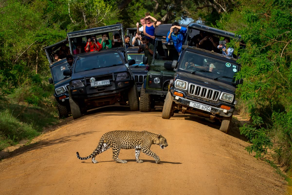
This proximity is why so many multi-day southern coast itineraries treat Yala as a dawn add-on rather than a destination requiring its own travel day. It also means the safari jeep that collects you at 5am isn't driving far to reach the park, which matters more than it sounds: a shorter approach drive means less pre-dawn road time and more time actually inside the park when the nocturnal predators are still moving before the heat sets in.
Which gate you actually want
Getting to "Yala" isn't specific enough, because Yala has more than one entrance and they lead to different parts of a park that's really a patchwork of numbered blocks with very different characters.
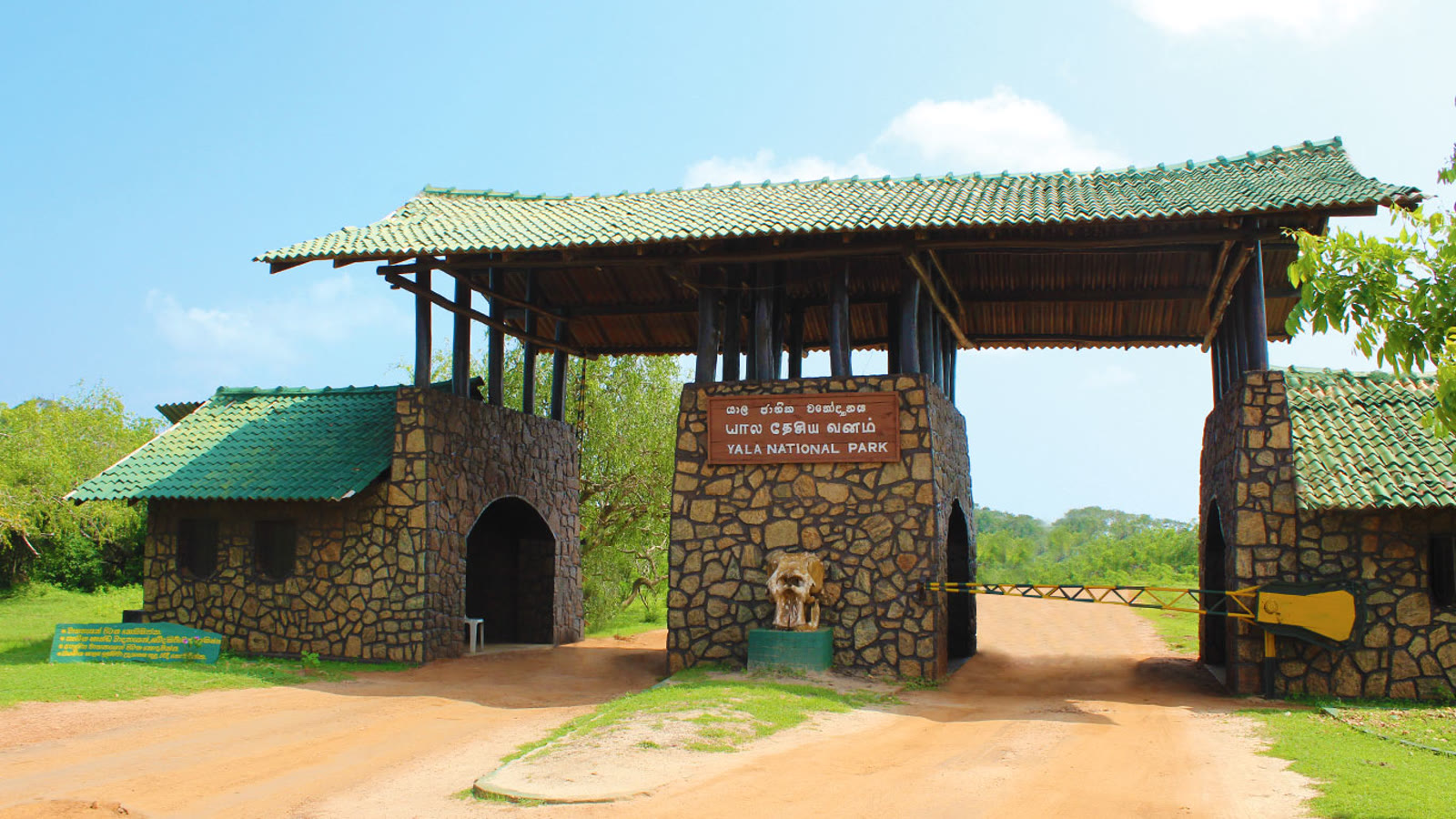
Palatupana gate, just outside Tissamaharama, is the main entrance and the one almost every standard safari uses. It opens into Block I, the most visited and most leopard-dense section, the one built around the leopards of Block I and threaded with the tracks safari drivers know by heart.
Katagamuwa gate is a secondary entrance slightly further along, also feeding into Block I, sometimes used to spread out entry queues during peak season. If you've heard about jeep congestion at the park gates in high season, that's a real phenomenon, and it's part of why some operators now stagger arrivals between the two.
Getting to the park's other blocks, including the wilder Block 2 beyond the Menik Ganga or the Kumana side further east, generally means a different access road entirely, and those areas see a fraction of the visitor traffic Block I does. If your route planning stops at "how do I get to Yala," it's worth adding a second question: which part of Yala, because the access point genuinely changes the experience you'll have once inside.
What the maps don't tell you
A few practical wrinkles worth knowing before you commit to a route. Roads in the dry southeast can flood or wash out briefly during the northeast monsoon's tail end, though this is rare enough that it's not something most visitors need to plan around. Fuel stops thin out once you're past Tissamaharama, so top up there rather than assuming you'll find a station closer to the gate. And mobile signal, while generally reliable along the main roads, does drop out in patches through the hill country descent, so downloading offline maps before you leave Ella or Nuwara Eliya is sensible rather than paranoid.
Exact visitor numbers by entry point aren't publicly tracked in a way we can cite with confidence, but anecdotally, and consistent with how tour operators route their jeeps, Palatupana carries by far the heaviest traffic of any Yala gate. If avoiding crowds matters more to you than convenience, that's worth factoring in alongside the route itself, not just the road distance.
There's also a seasonal dimension to all of this that pure distance calculations ignore. The best route on paper can still land you at a gate during a month when water levels or animal movement make the park itself less rewarding, which is really a separate question covered properly in When to Visit Yala.
Sources
- Department of Wildlife Conservation Sri Lanka
- General knowledge of Sri Lankan road infrastructure and geography (Southern Expressway network, hill country to southeast coast routes)
Ready to see it for yourself?
Book a safari